Showing posts with label Simsbury. Show all posts

Friday, July 27, 2012

Simsbury - Talcott Mountain State Park

Date Hiked:  Thursday, July 19, 2012
Number in Group:  8
Estimated distance round-trip: 2.5 miles
Weather:  Sunny, 83°F
Resources:  Talcott Mountain State Park, Trail Map
Highlights of the trip: Views, Heublein Tower

This is always a nice hike, and the fact that the Heublein Tower was open made it even better.  We started from the parking area off of 185 and headed up to the ridge.  From there it is an easy walk along the ridge to the tower.

View looking west over the Farmington Valley. 
You can see the Farmington River below.

Looking north.

The kids enjoyed climbing to the top of this.
I have not been in the tower in, well, I'd rather not say how many years.  It seems to me they have done quite a bit of work.  We took a look at some of the displays downstairs and also looked at some of the rooms.


This looks like a nice little place to read.

Looking south from the tower.  You can see the reservoir.

Looking east with Hartford in the distance.

Inside the tower.  I think it has been renovated since I was last here.

Looking north.

Dining room.


Common name: Selfheal or Heal-all
Scientific name: Prunella vulgaris


And just because I was curious, from Wikipedia:

Self-heal is edible: the young leaves and stems can be eaten raw in salads; the whole plant can be boiled and eaten as a potherb; and the aerial parts of the plant can be powdered and brewed in a cold infusion to make a tasty beverage.
Medicinally, the whole plant is poulticed onto wounds to promote healing. A mouthwash made from an infusion of the whole plant can be used to treat sore throats, thrush and gum infections. Internally, a tea can be used to treat diarrhea and internal bleeding.
I am very glad we went on this hike.  I'd like to go back this fall when the sky might be a little more clear and the leaves have turned color.

Sunday, July 8, 2012

Avon/Simsbury - Farmington River Paddle

Date Paddled:  Sunday, July 8, 2012
Number in Group:  13
Estimated distance: 3.3 miles
Weather:  Sunny and warm, 85°F
Resources:  Farmington River Watershed Association, Huck Finn Adventures
Highlights of the trip: Wildlife, views, just enjoying the water

Although this was not a trip officially planned by the Farmington Valley Homeschool Hikers, most of the people who went on this trip do hike with us, so I thought I'd post about it.

From the Farmington River Watershed Association website (see above).


We started our paddle at Alsop Meadows in Avon (access point 22) and paddled to Route 185 and the giant Pinchot Sycamore Tree in Simsbury (access point 23).  Huck Finn Adventures has their base at Alsop Meadows and I appreciated that they were willing to help me get my kayak in the water even though I wasn't renting from them.  Others in the group did rent canoes and kayaks and were picked up at the Sycamore tree when they were done.

Starting out.  Route 44 bridge ahead.
Shortly after we started, we passed the Route 44 bridge.  We soon came to another small bridge decorated with flowers.  After seeing a golf cart pass overhead, it became apparent that we were passing Blue Fox Run. 

A little further on, on the western side of the river, we could hear gunfire.  The gunfire comes from the Nod Brook area noted in the Simsbury Walk Book.  This area is used for hunting dog training and field dog trials.

Mama and some ducklings.

Adult female and juvenile Common Mergansers.
Even for the middle of the day, we saw a fair amount of wildlife.  In addition to the ducks and mergansers noted above, we also saw a Green Heron, a Great Blue Heron, and quite a few fish.  We had a fisherman with us, and he caught a few.  Maybe he can tell us what kind they were.

B decided to swim part of the way.

A perfect day to be on, or in, the water.

Heublein Tower on the Metacomet Ridge.
We passed the Heublein Tower and could hear more gunfire, this time from the eastern side of the river.  We were passing the CT State Police firing range.  Eventually we came to the Route 185 bridge and our take out point at the Pinchot Sycamore tree.  There were quite a few people swimming in the water here and the parking lot was pretty full.  Someone had helped me shuttle my car here, so I loaded up.  Others had parked on Nod Road, just across the bridge (good to remember if the lot is full).  Huck Finn came and picked up the rest to take them back to their cars.  The entire trip, taken at a pretty leisurely pace, took about 2 hours.

This was a fabulous trip.  I think we should plan another one as part of our hiking group this fall.

Tuesday, June 19, 2012

Simsbury - Walker's Woods

Date Hiked:  Tuesday, June 19, 2012
Number in Group:  9
Estimated distance round-trip: 2.5 miles
Weather:  Overcast and humid, 75°F
Website:  SLT's Walkbook, Walker's Woods Trail map
Highlights of the trip: View from Ethel Walker Property

According to the Simsbury Land Trust's Walkbook, there are a number of different places you can park to start a hike in the Ethel Walker Woods.  We decided to park near the picnic pavilion in Town Forest Park.  From there we had easy access to both the Town Forest and Ethel Walker Trails.

There are lots of interconnecting trails here and it would have been helpful to have a map.  Unfortunately, I had neglected to print one.  I am not sure how helpful it would have been if I had, because I would have used the map from the Walkbook which is not color coded (my one gripe with the very nice Walkbook).  I later learned from my son that he had found a color coded map on the Ethel Walker website.  It definitely would have been nice to have.


I know we started our hike on Orange, but that may have been just a short stretch until we hit the Green and doesn't seem to appear on the map.  We went south on the Green, to the Blue, then Blue/Yellow, then Blue all the way to the observatory.  On the way back, I think we took the same Blue trail, but took a right on to the Yellow, then to Blue, then Green and finally, Orange. 

The bridge leading into the Woods from Town Forest Park.

Looking at the water from the bridge.  Although it doesn't show well in the picture,
there is a large patch of light blue Forget-me-nots on the other side of the water.
Forget-me-nots.  Sorry, not in focus.
As we walked along, we saw quite a few of these cement objects.  They were only on one side of the trail.  One end was round, but the other end was square.  The hole went all the way through.


A short distance later, we came to more of these objects, but this time they were planted in the ground.  Although they were spaced fairly far apart, our guess is that they were for some kind of fence post.  The distance between them may have been strung with wire.


Nice open area of ferns.
At the end of the Blue trail, we came upon a field.  At the top was the Van Gemeren Observatory and a picturesque look at Ethel Walker's fields and chapel.  The observatory is just a small shed, but I wish now that I had taken a picture of it.  One of the things we noted was that above our heads, to one side of the building, there were tracks and a chain, like you would have for your garage door.  In looking at the Ethel Walker Website, it is clear that the roof of the observatory retracts.

Ethel Walker's chapel.

Heublein Tower on the Metacomet Ridge.
This was a nice hike, not nearly as strenuous as our last couple of hikes.  And now that my son has pointed out the color-coded map, I can see that there is more exploring to do here.  So, we will be back!

Friday, May 25, 2012

Simsbury - Cathles Trail

Date Hiked:  Thursday, May 24, 2012
Number in Group:  11
Estimated distance round-trip:  1.2 miles
Weather:  Overcast, humid, 78°F
Highlights of the trip:  Waterfall, expansive views

This hike is in what the Simsbury Land Trust Walkbook calls the Western Highlands.   The Cathles Trail can be done as either an extension of a hike on the Hedgehog Trail or as a separate hike starting at the end of North Saddle Ridge Drive.  We decided to do it as a hike separate from Hedgehog. 

Before we even got into the woods, one of the kids spotted a millipede.  We took a few moments to observe and take pictures.  We needn't have worried about missing the opportunity.  We saw millipedes all along the trail.

One of many millipedes found along the trail.
A short walk along the white-blazed trail led us to this pretty little waterfall.


We started climbing the trail through the talus until we reached the bridge over the stream.  Immediately on the other side of the bridge is a jumble of rocks that forms a small cave.  The kids climbed around on this while they waited for us to decide in which direction to go.  According to a map located at the bridge, the white trail continues to the west where it connects with the blue-blazed trail.  The red-blazed trail follows the ridge line to the south along the Hedgehog Trail or to the north along the Cathles Trail.  We decided to stick with the Cathles today, so we crossed the bridge and continued north.  We will come back at some point in the future and do Hedgehog.

The cave.

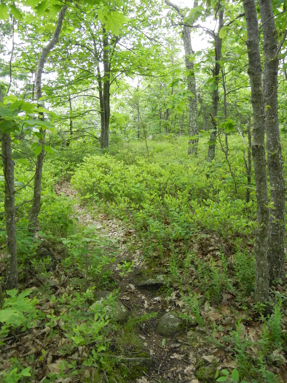
The red trail wound it's way up the slope and along the ridge.  Some of the area here reminded me of Maine, with bare rocks and lots of blueberry bushes.
Cathles Trail.
Along this red-blazed trail, we had a little discussion about blazes.  In general, the trail is marked with a single vertical blaze.  When there is a turn, there will be two blazes offset from each other, with the top blaze indicating the direction to take.  For example, if the top blaze is set to the right of the bottom blaze, the trail will turn to the right.  Then we came to a double blaze where the blazes were not offset, they were aligned vertically.  I thought that this might mean the end of the trail, even though it seemed to continue and we did find blazes further on.  When we got back, I did a little research on the meaning of the blazes.  Some websites indicated that the vertically aligned blazes could mean caution and others indicated that you needed to look for a turn.  Here is a little chart I found that summarizes what the various blaze markings mean:

From the Finger Lakes Trail Conference website.
Along the ridge, we saw quite a few different wildflowers.  If you can identify them, leave a comment and I will add the appropriate caption.


Pink Corydalis

Lady slipper.
The views from the lookouts were quite impressive.  We could see well to the north, past the Barndoor Hills in Granby, and east to the Metacomet Ridge and beyond.


Barndoor Hills in Granby.  What is in the distance on the far left?

Looking east across the Farmington Valley to the Metacomet Ridge.
When we got to what we assumed was the final lookout, we turned around.  While the Walkbook indicates that the red trail linked up with the blue trail on the west side of the ridge, some of the other maps indicate that the trail just ends.  There did seem to be a narrow trail heading into the woods, but we decided to turn back.  An adventure for another day, perhaps.  

This was a great hike and much less strenuous than I feared.  The Western Highlands offer tremendous views of the valley and a hike along the Hedgehog Trail is in our plans for the future.